Lakewood Airport (N12) - Lakewood, New Jersey
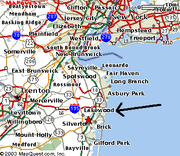
Driving Directions: Lakewood Airport, 1900 Cedar Bridge Ave, Lakewood, NJ 08701
To get to Lakewood from the Garden State Parkway, Southbound:
- Take Exit 89, Rt 528 Brick/Lakewood
- Bear right at the end of ramp onto Airport Road. (Tip: Follow small blue signs for First Energy Park)
- Follow Airport Road to a "T" intersection and turn left (Rt 528/Cedar Bridge Rd).
- Go about 200 yards, Lakewood Airport is on your left.
To get to Lakewood Airport from the Garden State Parkway, Northbound:
- Take Exit 89B to Chambers Bridge Rd (Rt 549) Southbound.
- At the next intersection (Rt 70), turn Right, and then turn right again onto Cedar Bridge Rd.
- Continue over parkway bridge, and go through the traffic light on Airport Rd.
- Go about 200 yards, the Lakewood Airport entrance is on your left.
At the Airport:
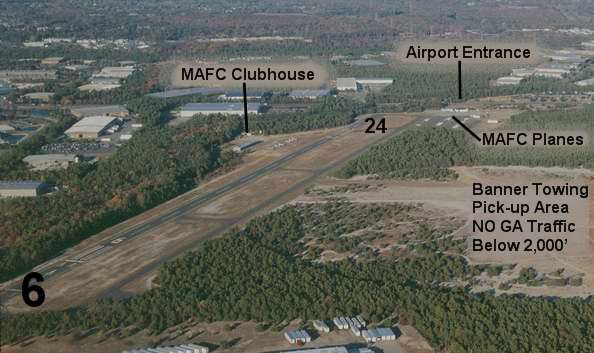
- PLANES: The club's planes are located on the left side of the FBO's office.
- MAFC Clubhouse: The clubhouse trailer is located left of the FBO office.
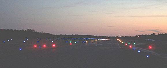
Night View of Runway 24
Click the map below to get detailed driving directions. The MAFC Membership meeting is the 3rd Saturday of each month at 10am in the MAFC Clubhouse.
Historical Information about Lakewood Airport
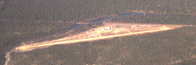 Lakewood Airport was built in the late 1940's with a gravel strip. Located on the
field was an FBO and a Civil Air Patrol squadron. In the picture at left
(looking north east), Cedar Bridge Avenue and the east end of the runway seem to
merge. The runway heading is 10-28.
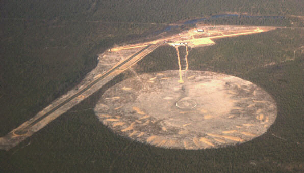
In 1963, a new paved runway (6-24) was added as part of the conversion of the airport to a skydiving haven, the Lakewood Sport Parachute Center. A 1800' diameter circle was cut out of the pine forest that surrounded Lakewood Airport and a new 2500' paved runway and partial taxi way were built. The old runway was used as a flight line and a parking lot. The Lakewood SPC was placed where it was for two main reasons. It was a remote area with super soft landing sand but most importantly it was an almost equal distance between Philadelphia and New York City. The hand-outs had local numbers in both cities. It was actually closer to the Camden/Philadelphia area but the roads (The Jersey Turnpike and the New Jersey Parkway) were better from the north direction.
